Surveying
Whether you're surveying points on the ground or mapping buried networks, the GEOSTIX delivers the best accuracy that GNSS technology can provide. Thanks to its light weight and small dimensions, it can be easily transported and installed on any terrain geometry.
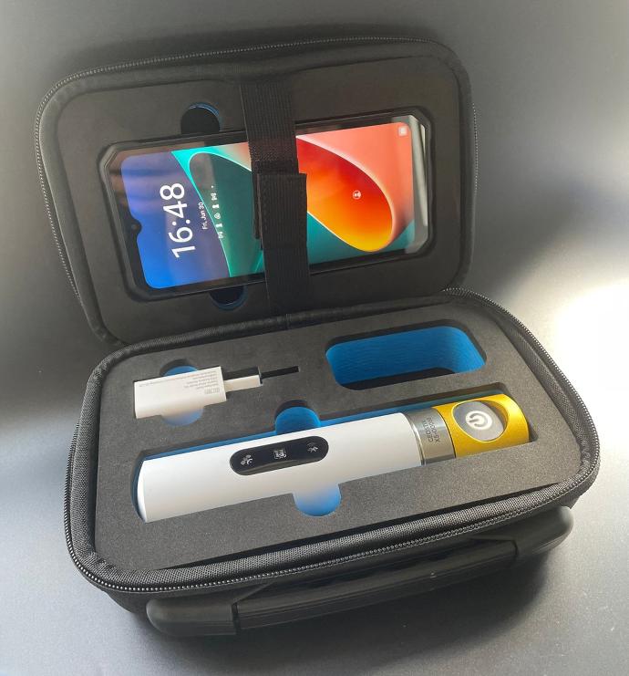
The GEOSTIX can be used directly with all topometric softwares such as TcpGPS, Qfield, SwMaps, Mapit GIS under Android or iOS.
To map buried networks, GEOFIT offers a photogrammetric survey solution using a smartphone camera coupled with a GEOSTIX-X5 in RTK mode. The photos are used to produce a 3D model, which the GEOSTIX geolocalizes and scales.